 EBlast ™
 EBlast ™
EBlast is an expert software system that instantly provides damage and injury distances for a wide variety of explosive devices in urban environments. It has been specifically designed to assist bomb squads and other emergency-measures personnel deal with explosive threats, in actual emergencies or as a planning and training tool. It runs on a laptop and can be customized to meet the particular requirements of individual agencies.
EBlast users provide the minimum amount of information and that information need not be known accurately. For example, by clicking a few buttons the user may define an emergency involving a 'small car bomb'. This information can be upgraded later, by adding the exact make and model of car or defining the amount of explosive, for example. The interface is robust and easy for non-computer experts to use. Results are presented instantaneously in SI (metric) or British units.
EBlast includes a GIS interface so that areas of probable damage and injury can be drawn over the user's maps. The user can position the explosive device graphically and then see immediately what areas need to be evacuated, for example. Various GIS formats are supported, including vector and image maps, and many standard GIS functions, such as data query.
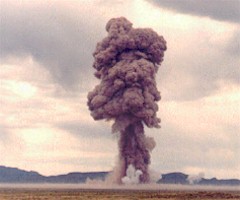
![]() To learn more about EBlast, take the 10-minute tour (starts with
topic #1 listed opposite).
To learn more about EBlast, take the 10-minute tour (starts with
topic #1 listed opposite).